

National Weather Service Forecast : 241 AM EDT TUE JUL 28
 TODAY
TODAY
Today Patchy fog this morning. partly sunny with a slight chance of showers with isolated thunderstorms this morning, then mostly cloudy with showers likely with scattered thunderstorms thisafternoon. highs in the mid 80s. light and variable winds, becoming south around 10 mph this afternoon. chance of rain 60 percent.
 TONIGHT
Tonight Partly cloudy in the evening, then becoming mostly cloudy. scattered thunderstorms in the evening. a chance of showers. patchy fog after midnight. humid with lows in the lower 60s. light and variable winds, becoming southeast around 10 mph after midnight. chance of rain 50 percent.
 WEDNESDAY
Wednesday Patchy fog in the morning. showers. isolated thunderstorms in the morning, then scattered thunderstorms in the afternoon. humid with highs in the lower 70s. east winds around 10 mph with gusts up to 20 mph. chance of rain near 100 percent.
 WEDNESDAY NIGHT
Wednesday night Scattered thunderstorms in the evening. showers. lows in the upper 50s. northeast winds around 10 mph. chance of rain near 100 percent.

Thursday Showers. scattered thunderstorms in the afternoon. humid with highs in the lower 70s. northeast winds around 10 mph. chance of rain 90 percent.

Thursday night Showers, mainly in the evening. lows in the upper 50s. chance of rain 90 percent.

Friday Partly sunny. a chance of showers in the afternoon. highs in the upper 70s. chance of rain 40 percent.
Min / Max Weather Conditions | |||||||||||||||||||||||||||||||||||||||||||||||||||||||
|---|---|---|---|---|---|---|---|---|---|---|---|---|---|---|---|---|---|---|---|---|---|---|---|---|---|---|---|---|---|---|---|---|---|---|---|---|---|---|---|---|---|---|---|---|---|---|---|---|---|---|---|---|---|---|---|
| LAST READING AT TIME: 06:20 AM DATE: July 28 2026 | |||||||||||||||||||||||||||||||||||||||||||||||||||||||
| Current Weather | Dry | Current Temperature | 58.6 Apparent temp 60.0 °F | ||||||||||||||||||||||||||||||||||||||||||||||||||||
| Maximum Temperature (since midnight) | 65.6 at: 12:00 AM | Minimum Temperature (since midnight) | 58.4 at: 5:48 AM | ||||||||||||||||||||||||||||||||||||||||||||||||||||
| Heat Index | 58.6 | Maximum Heat Index | 65.6 at 12:00 AM | ||||||||||||||||||||||||||||||||||||||||||||||||||||
| Average windspeed (ten minute) | 0.0 | Wind Direction (ten minute) | ENE 74 | ||||||||||||||||||||||||||||||||||||||||||||||||||||
| Windchill Temperature | 58.6 | Maximum Gust (last hour) | 0.0 mph N at: 6:00 AM | ||||||||||||||||||||||||||||||||||||||||||||||||||||
| Maximum Gust (since midnight) | 0.0 at: 6:09 PM | Maximum 1 minute average (since midnight) | 0.0 at: 6:09 PM | ||||||||||||||||||||||||||||||||||||||||||||||||||||
| Rainfall (last hour) | 0.00 | Rainfall (since midnight) | 0.00 | ||||||||||||||||||||||||||||||||||||||||||||||||||||
| Rainfall This month | 1.24 | Rainfall To date this year | 12.88 | ||||||||||||||||||||||||||||||||||||||||||||||||||||
| Maximum rain per minute (last hour) | 0.00/min | Maximum rain per hour (last 6 hours) | 0.00/hour | ||||||||||||||||||||||||||||||||||||||||||||||||||||
| Yesterdays rainfall | 0.00 | DewPoint | 54.4 (Wet Bulb: 56.3) | ||||||||||||||||||||||||||||||||||||||||||||||||||||
| Humidity | 86 % | Barometer corrected to msl | 29.707 | ||||||||||||||||||||||||||||||||||||||||||||||||||||
| Pressure change | +0.007 (last hour) | Trend | Steady | ||||||||||||||||||||||||||||||||||||||||||||||||||||
| Pressure change (last 12 hours) | +1 mb | Pressure change (last 6 hours) | -1 mb | ||||||||||||||||||||||||||||||||||||||||||||||||||||
| Sunshine hours for the year: | 294:40 hrs | Sunshine hours for the month: | 135:09 hrs | ||||||||||||||||||||||||||||||||||||||||||||||||||||
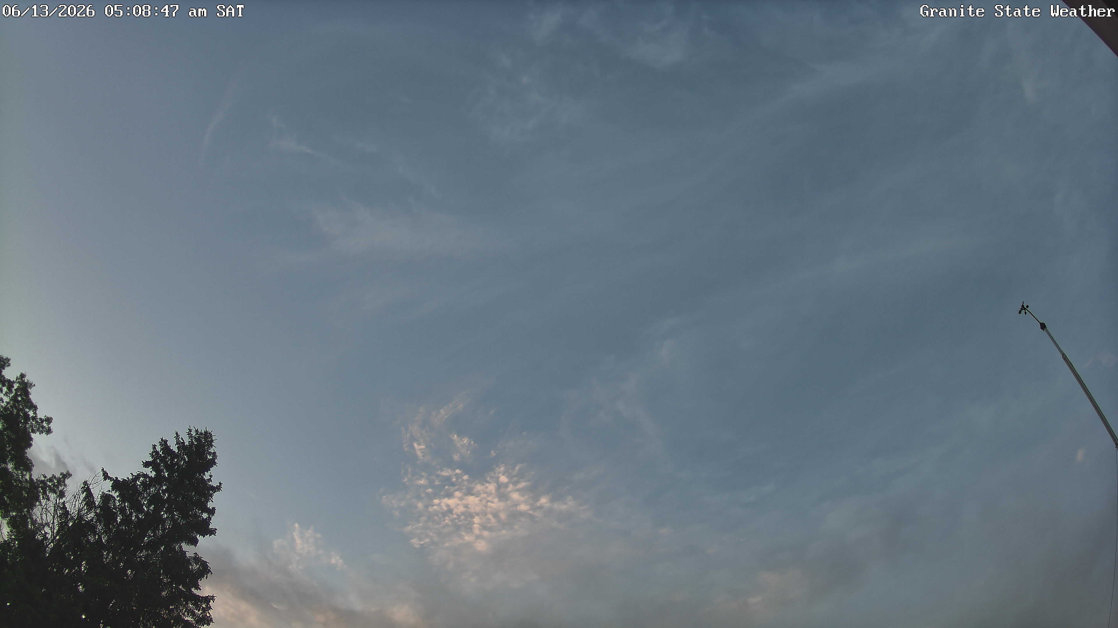
Current SkyCam